Services

We provide information to help you track progress and maintain assets​
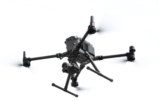
​Our services span critical sectors such as renewable energy, construction and infrastructure helping you monitor progress and plan preemptive maintenance.​
​UAV technology with robust processing capabilities provide detailed data for roof and façade assessments, conduct complex evaluations for renewable energy installations, and provide for comprehensive construction progress reporting.​
​Our data integration and software workflows support clients in optimising project timelines and reducing risk.

Our Services

Structural Lifecycle Assessments

We provide photogrammetry data to the real estate and property management sectors. This detailed, high-resolution imaging of buildings, roofs, facades and structures allow clients to quickly identify any cracks, water damage or structural integrity concerns.

Renewable Energy Inspections

Biogas facilities and landfill sites are often expansive, making traditional inspections time-consuming. Drones can cover large areas quickly, making them ideal for tasks like site monitoring of waste decomposition for the assessment of the environmental impact.

Construction Progress Reporting

Across construction, we leverage advanced drone technology to provide accurate data for progress inspections, and detailed site measurements for the Architecture, Engineering, and Construction (AEC) sector across NSW.

Thematic Environments

Unreal Engine for 2D and 3D animations, animated backgrounds, lifestyle photography, thematic environments, fantasy landscapes and virtual production.

Benefits of remote photography and aerial mapping to your industry

Our services include professional drone photography, using state-of-the-art uncrewed aerial systems (UAS) to capture high-resolution images from unique perspectives. Mapping technology has transformed how geographic data is gathered, processed, and analysed.

Increased Efficiency

Drone mapping is significantly faster than traditional ground-based methods, saving time and reducing costs.

Enhanced Accuracy

It offers high-resolution aerial imagery and data used to create detailed terrain models, supporting consistent condition monitoring and streamlining critical maintenance.

Improved Safety

Drones reduce the need for workers to enter hazardous or hard-to-reach areas, enhancing safety and minimizing risk.

AI and Photogrammetry Software

Drones collect high-resolution data that surpasses manual assessments. Advanced software platforms enable better planning, analysis, and decision-making. Drone mapping also allows for more frequent and accurate reporting, improving billing and overall project visibility.

Digital Twins Virtual & Physical

A digital twin is a virtual model of a physical object or landscape. With drones, businesses can quickly collect accurate data, monitor and optimize operations, and create real-time replicas of assets. This technology allows for comparing images over time, ensuring better quality control and collaboration with subcontractors.

Real-Time Decision Making

Drone mapping enables businesses to collect and analyze data in real-time, allowing for immediate decision-making and rapid response to changing project conditions. This leads to faster adjustments and more informed, agile project management.