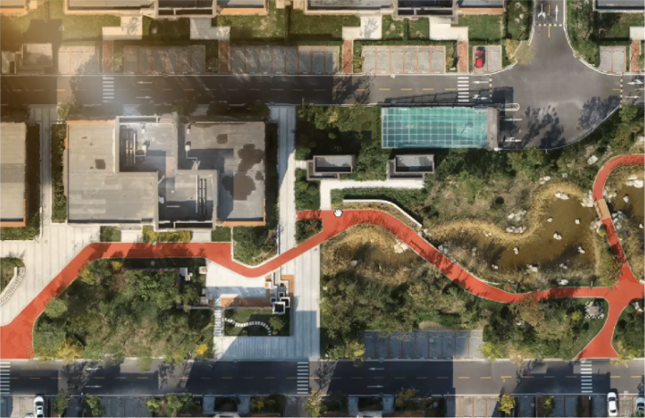
Software
WHAT WE WORK WITH
Managing drone operations requires, robust, reliable software solutions. From seamless flight management to advanced data analytics and 3D modelling, the right tools can transform how you gather, process and interpret aerial information.

AVCRM
AVCRM is a comprehensive compliance and risk management software designed for drone operators. It streamlines flight planning, regulatory compliance and safety management, providing features like job planning, airspace awareness, pilot logbooks and maintenance tracking; an all-in-one intuitive platform. AVCRM helps businesses manage their drone fleets with efficiency and accuracy, ensuring safe and compliant operations.

DJI FLIGHT HUB 2
DJI FlightHub 2 is a cloud-based platform for simplifying drone mission management. It offers tools for real-time collaboration, fast mapping, data management, and fleet tracking. Features like live annotations, cross-device accessibility, and seamless data integration make it ideal for industries such as construction, surveying, and public safety. It helps teams plan, monitor, and execute complex drone operations with greater situational awareness.

DJI Terra
DJI Terra is a robust drone mapping and modeling solution. It offers automated flight planning, real-time 2D mapping and high-resolution 3D model generation, making it easy to capture and analyse aerial data. With its user-friendly interface and fast data processing, DJI Terra supports teams to efficiently monitor and manage complex projects on-site. This powerful tool integrates seamlessly with DJI drones, making it ideal for a wide range of industrial applications.

Pix 4Dmatic
Pix4Dmatic is a next-generation photogrammetry software designed for large-scale drone and terrestrial mapping projects. It simplifies the processing of thousands of images, creating detailed 2D maps and 3D models, with survey-grade accuracy. The automated workflow and fast processing, enables us to manage complex datasets without the need for splitting or reassembling. Pix4Dmatic is ideal for applications in industries like surveying, construction and infrastructure.

Drone Deploy
DroneDeploy is a drone mapping software platform that simplifies data capture, processing and analysis. It supports automated flights, enabling remote specialists to create high-resolution 2D maps and 3D models quickly. DroneDeploy integrates AI-driven tools for tasks like real-time safety monitoring, progress tracking and automated inspections. The platform supports various hardware and offers seamless data sharing, ensuring that remote teams can collaborate effectively from anywhere in the world.

Propeller
Propeller is a cloud-based platform designed to streamline drone data management. It is designed for the construction, mining and earthworks sectors. It allows users to create accurate 3D maps, track site progress and measure stockpiles or excavation volumes. Propeller’s interface assists teams with analysing large datasets in real time. The automated workflows and collaboration features enable faster project completion and better resource management, while ensuring high levels of accuracy and reliability across any job site.
Precision Mapping and Analysis for Construction and Asset Management

Orthomosaic Maps
Georeferenced, high-resolution 2D maps corrected for lens distortion and perspective, ideal for site assessments and project planning.

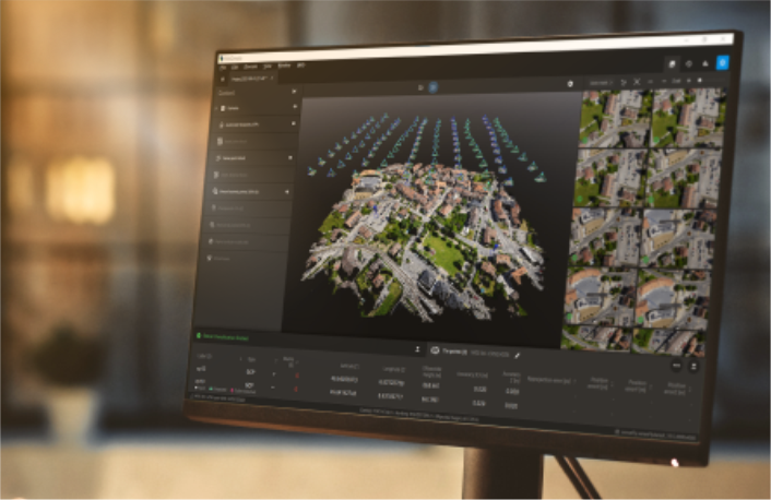
3D Surface Models (DSM)
Provides elevation data, essential for terrain analysis, grading and drainage design on construction sites.

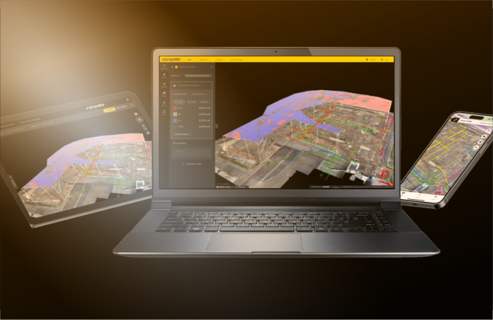
3D Terrain Models (DTM)
Bare-earth models provide precise topographic data for land management and engineering, compatible with CAD and GIS platforms.