Hardware
Technical Application of DJI Drones and Photogrammetry in the Field
We use DJI drone equipment, including the DJI Mavic 3 Enterprise (M3E), Mavic 3 Thermal (M3T) and Matrice 350 (M350). By integrating photogrammetry and Real-Time Kinematic (RTK) capabilities, we deliver highly accurate, actionable data.
Firefly-UAI focuses on acquiring high-quality data for engineers, surveying firms, and construction professionals. We specialise in precise 2D and 3D mapping for asset inspections, environmental reports and construction progress updates.
THE GEAR BEHIND THE MISSION:
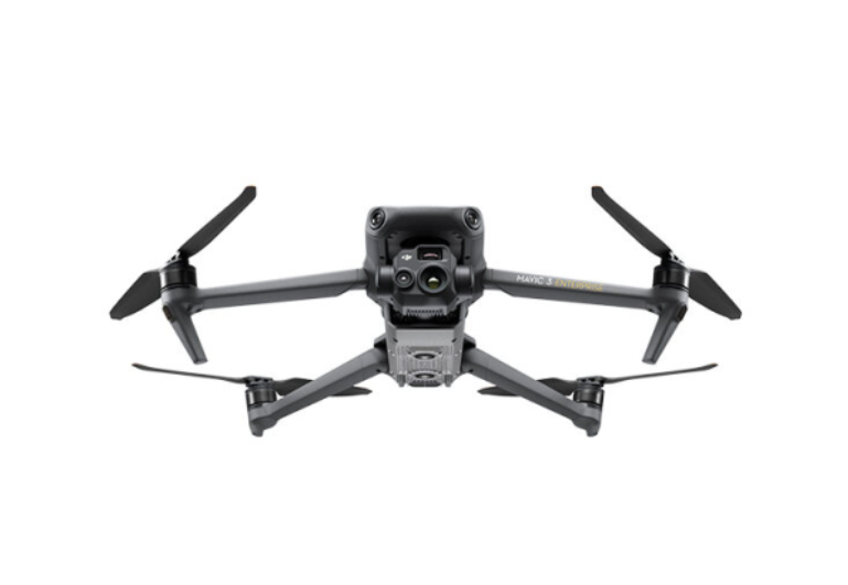
DJI Mavic 3 Enterprise (M3E): High-Resolution Imagery and RTK Precision
The DJI Mavic 3 Enterprise (M3E) is designed for precision photogrammetry and surveying. With a 20MP wide-angle camera and mechanical shutter, it captures sharp, distortion-free images at high speeds. The RTK module ensures centimetre-level accuracy, connecting to GNSS base stations or NTRIP services. Ideal for mapping tasks like construction reporting, volume calculations and inspections, the M3E produces accurate 2D maps, DSMs, DTMs and volumetric measurements with resolutions up to 0.7 cm/pixel for reliable geospatial outputs.

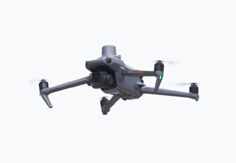
DJI Mavic 3 Thermal (M3T)
The DJI Mavic 3 Thermal (M3T) combines a 48MP visual camera with a 640×512 thermal sensor, ideal for asset monitoring and detecting temperature variations. Its thermal imaging helps identify issues like overheating in wind turbines or solar installations. The M3T excels in detecting methane leaks and features RTK integration for centimetre-level accuracy. Outputs include thermal maps, inspection reports, and 3D models with temperature overlays. Thermal resolution is 0.5 m/pixel at 120m altitude, with a detection range from -40°C to 150°C.

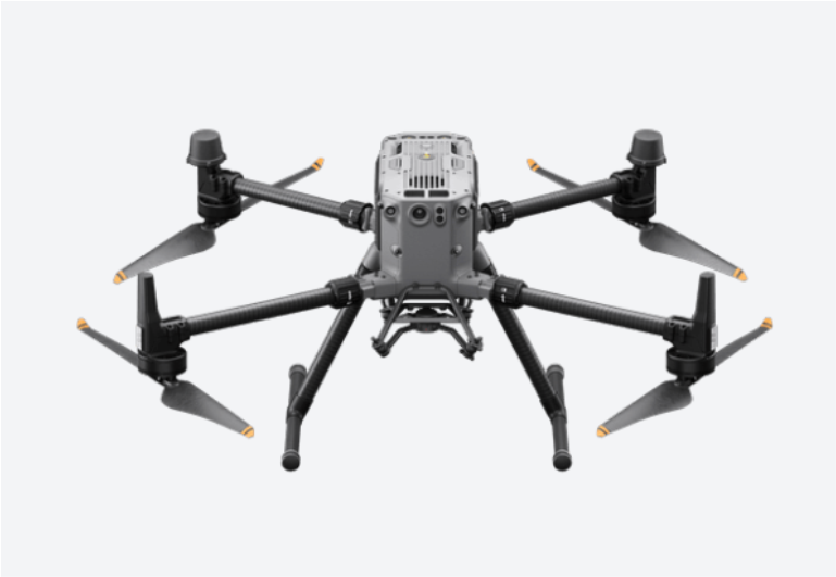
DJI Matrice 350 (M350)
The DJI Matrice 350 (M350) is built for industrial-grade applications, ideal for heavy-duty mapping and inspections. With a 55-minute flight time and 2.7 kg payload, it supports advanced sensors like LiDAR and multispectral cameras for large-scale 3D mapping. The M350’s RTK technology ensures centimetre-level accuracy in complex environments, perfect for tasks like wind turbine and solar farm inspections. Outputs include point clouds, orthomosaic maps, 3D models, and thermal overlays, integrating seamlessly with GIS and modelling software.

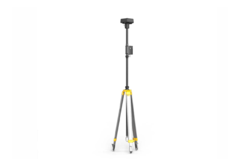
Real-Time Kinematic (RTK)
DJI RTK technology provides real-time GPS corrections, achieving centimetre-level geospatial accuracy. This precision is vital for engineers in asset valuations, volume calculations, and high-accuracy mapping. In construction, RTK drones ensure precise stockpile volume assessments, improving material management and cost control. In renewable energy sectors, RTK enables accurate geospatial data for planning maintenance with minimal disruption, allowing inspections of turbines and solar panels while operational.
